Where you live on the hill makes a difference in Montpelier. Picton Street and Bath Buildings put you close to Stokes Croft, while homes near Station Road make it easier to use the local train. Further uphill, try the walk to St Andrews Park and back. Before you book a second viewing, walk from the property to the place you need to reach most often. The return trip is a better test than the distance on a map.
Picton Street and Bath Buildings
Picton Street curves into Bath Buildings and sits on the lower side of Montpelier, close to Cheltenham Road. Start there if you expect to walk towards Stokes Croft or take the bus into the centre. If the flat is above a shop or restaurant, ask where deliveries arrive and check which way the bedroom faces. Walk a neighbouring side street at the same time of day to see which setting you prefer. The council’s Montpelier conservation area appraisal has a map and a street by street account of the area.
Getting around from Montpelier station
Montpelier station is on Station Road. It sits on the Severn Beach line, with trains towards Bristol Temple Meads in one direction and Clifton Down and Avonmouth in the other. If you will change at Temple Meads, check the whole journey at your usual travel time. National Rail lists step free access to the platform. Walk to the entrance from the front door if gradients or uneven pavements matter to you.
For a bus, check stops on Cheltenham Road and routes towards Gloucester Road in the WEST journey planner. Compare the time from the property, including the walk to the stop and the wait, with your train option.
Up the hill towards St Andrews
Use Richmond Road and St Andrew’s Road to get a feel for the upper slopes. St Andrews Park is on Effingham Road in neighbouring St Andrews. It has a children’s play area and no dedicated car park. If you plan to use it regularly, try the walk with a pushchair or whatever you will carry. Check which entrance you would normally use.
Parking on your street
The Montpelier residents’ parking scheme operates from 9am to 5pm, Monday to Friday. Use the council’s map to find the property, read the sign on the bay you would use and check the address against the permit eligibility rules. If you have a car or expect regular visitors, ask which spaces, if any, come with the property and where a removal van could stop on moving day.
What to check at a viewing
With a flat in a converted terrace, check the number of steps from street level, where you can store a bike and how you get to the bins. Ask how the flat is heated, whether it has separate meters and who maintains the shared entrance. If you are buying with alterations in mind, look up the exact address. Historic England lists the even numbers from 2 to 50 Picton Street as one terrace. Check the council’s conservation area map and any listing that applies to the property you are viewing.
Compare Montpelier with other Bristol areas
If you want to be closer to the waterfront or rely on mainline rail, see our Harbourside and city centre guide. If you are still narrowing down your search, start with our Bristol neighbourhood guide. Our Bristol lettings page links to the current rental listings and explains how to arrange a viewing.
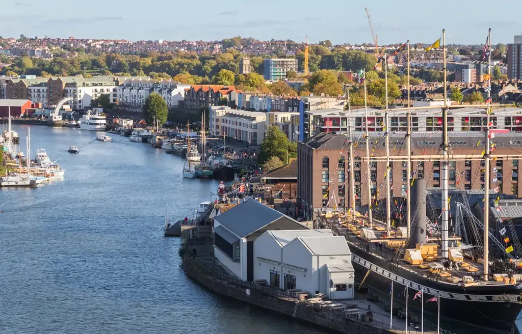
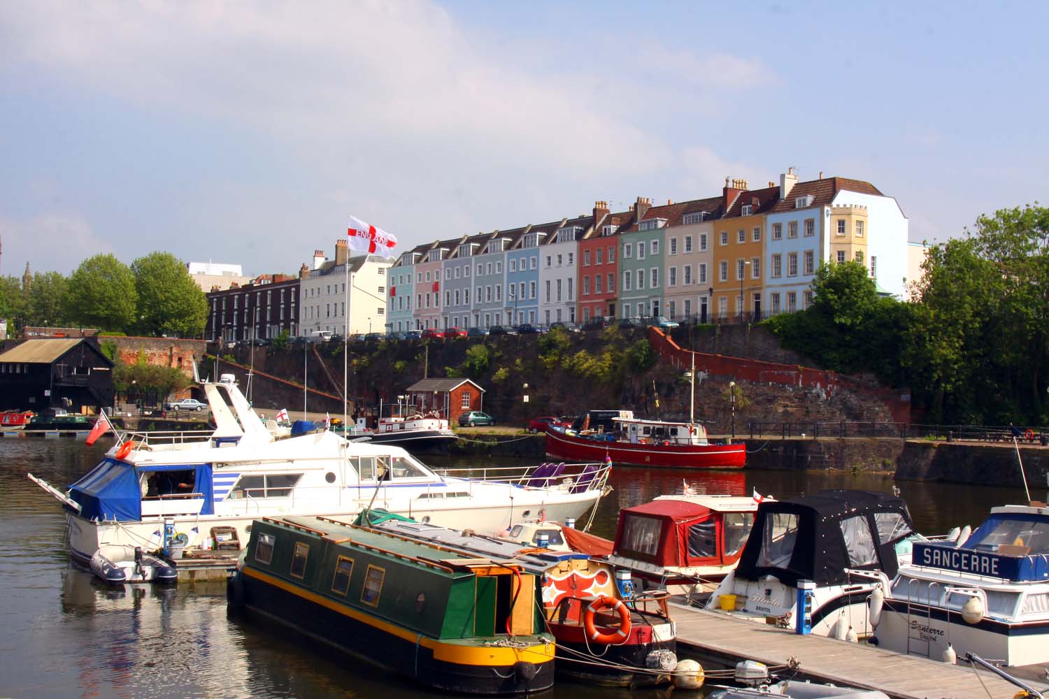
The cover photograph, View over Montpelier, Bristol by C P Smith, was resized and is shared under Creative Commons Attribution ShareAlike 2.0.